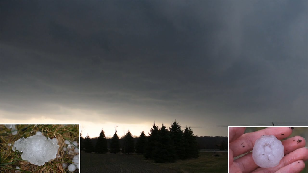
On April 7th, 2020, an enhanced risk of severe weather was issued for the southern Great Lakes region. My area, however, was only under a marginal risk, as we were on the far western edge of the risk area.
At around 3:30 PM, with a temperature of 75 degrees and a dewpoint of 55, a thunderstorm exploded just to the west of my location. The storm went from nothing to a hail producing supercell in less than 20 minutes. It hailed for about 15 minutes, which was pretty much the entire duration of the storm, and it got quite windy as well. Once the rain/hail stopped, the sun returned and the rest of the day was pretty nice. This was the first hailstorm in my area since April 2016 and it produced the largest hail I've ever seen in person!
For more information on the weather conditions at the time this video was taken, please visit: [ Ссылка ]
Please check out my Instagram, where I frequently post pictures of weather and nature as a whole! [ Ссылка ]
Thanks for watching!


![RUSSIAN TANK T-90SM AND BMPT TERMINATOR FIRING [1080p]](https://i.ytimg.com/vi/0-bq_WOA6Nk/mqdefault.jpg)


