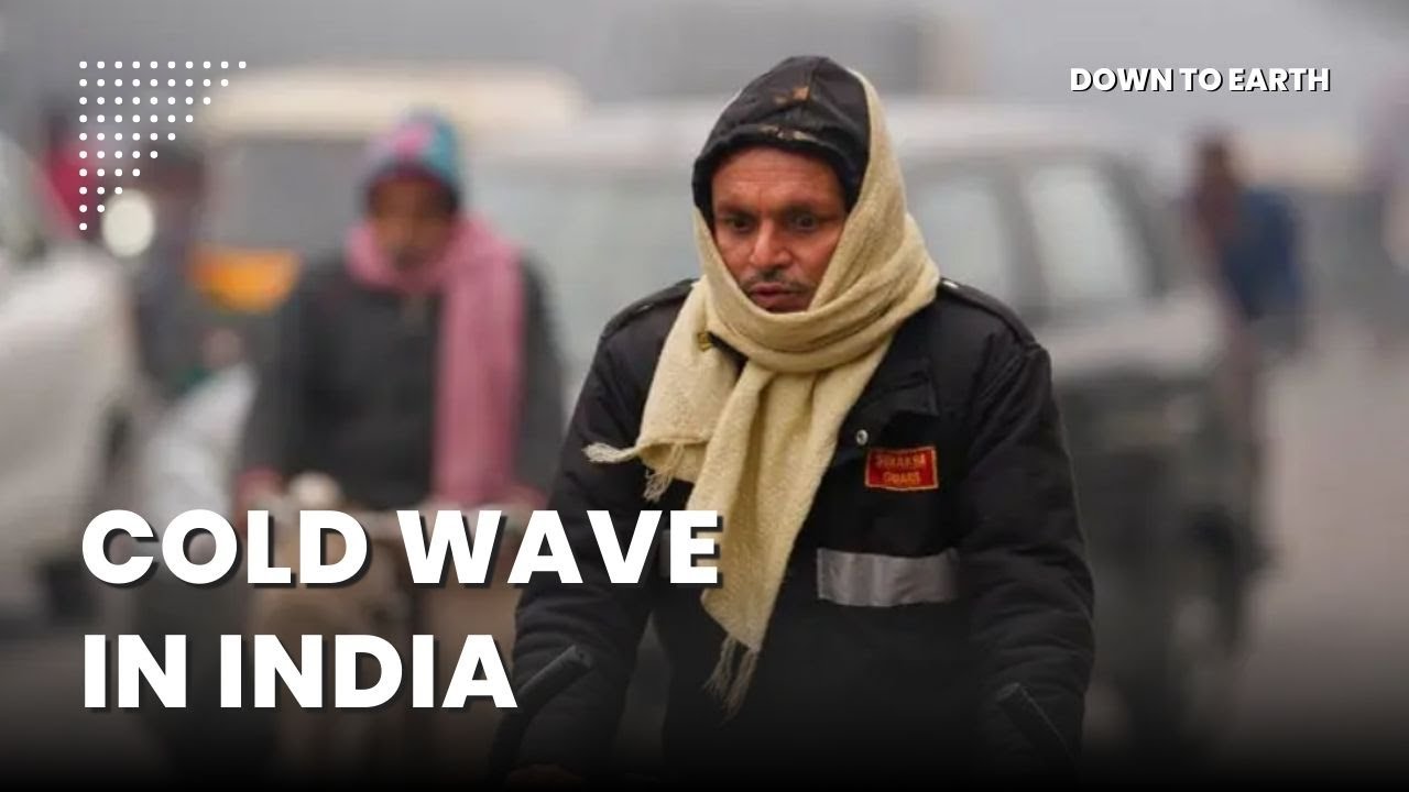
The IMD has issued a warning for Cold Wave conditions over parts of North West India from December 30th onwards. Since the past week, ‘Cold Wave’ to ‘Severe Cold Wave’ conditions have been recorded in Himachal Pradesh and Jammu and Kashmir.
On Monday, 30th December, The Indian Meteorological Department (IMD) issued warnings of ‘Cold Wave’ conditions that could begin in the Northwestern part of the country. States such as Haryana, Himachal Pradesh, Punjab, Rajasthan, Uttarakhand and Uttar Pradesh could be severely affected. Parts of Rajasthan could be severely affected due to dense fog that has limited the visibility below 50 metres and Uttarakhand could face heavy rainfall.
Cold Wave was first recorded in the country on December 10th and has progressively led to a drastic fall in temperatures with normal to heavy rainfall across the country.
But, what exactly is a Cold Wave?
The United Nations Office for Disaster Risk Reduction(UNDRR) defines ‘Cold Wave’ as a phenomenon wherein the surface temperatures of an area falls below a certain thresholds for at least two consecutive days.
According to the IMD, a coldwave occurs when the minimum temperature is 10 degree celsius or less for plains and 0 degree celsius or less for the hills and the condition must pertain for 3 consecutive days.
So, why is this happening?
According to experts, the current weather conditions can be attributed to Western Disturbances. These are a series of cyclonic storms, and its interaction with Easterly Winds. This phenomenon has led to fog and heavy rainfall affecting parts of Northern, Eastern, Southern and North Eastern India.
The impact - Let us take the case of some affected states
Kashmir, this year, recorded the coldest winter in the past 50 years. Temperatures dipped to -8.5 degree celsius. This period of intense frigid temperatures that typically lasts from December 20 to January 30, is colloquially termed as Chillai Kalan in Kashmir. The cold has frozen parts of the picturesque Dal lake as well as the water supply lines in parts of the valley.
While Kashmir froze, Delhi’s temperature also dipped because of the rain. The downpour on Friday, the 27th of December, was the highest single-day December rain recorded after 1923 at 41.2 millimeters.
Moving towards the east, Odisha had its own set of problems owing to heavy rainfall. Crops were destroyed which forced the state government to swoop in and remedy the situation. The Odisha government has vowed to buy the produce of the farmers even if it does not meet the Fair Average Quality Standards (FAQ).
In this scenario, the issue of weather forecast in the era of climate change, comes into picture.
On this, the IMD Director General Mrutunjay Mohapatra said, “Climate change restricts forecasts. Our forecast accuracy of heavy rainfall has increased from 60-80% in the last five years. We have taken steps to overcome the challenges of climate change so we can detect and predict the smallest weather changes.”
The IMD in its 29th December press release has mentioned that services such as trains, aviation and roads would be affected with a chance of power line trippings as well in the Delhi/NCR region .
Health hazards because of dense fog could cause lung-related complications and eye irritation as well.
In its latest press release, IMD forecasts a further reduction in temperatures by 2-3 degree celsius in Central and Eastern India over the next 2-3 days. A western disturbance is likely to hit north west India from Jan 6th causing fresh rain and snow over the western Himalayan region.
Down to Earth is Science and Environment fortnightly published by the Society for Environmental Communication, New Delhi. We publish news and analysis on issues that deal with sustainable development, which we scan through the eyes of science and environment.


