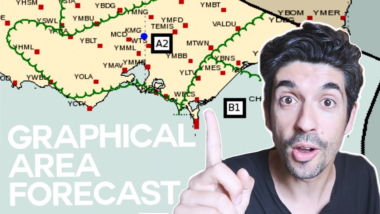
The Bureau of Meteorology have launched Graphical Area Forecasts (or GAFs) for pilots. This video explains the new format, what each part of the GAF means, and how to read the GAF.
The new format is a visual representations of the weather in various areas of the country and in my opinion is a massive improvement on the old system. It cuts down time in the weather briefing stage of your flight planning.
This video also includes an quick overview of the new grid point wind and temperature charts which were released at the same time.
Check out the BOM GAF page here: [ Ссылка ]
VERY IMPORTANT: I am a private pilot and am NOT qualified to give flying instruction. This video, like all videos on this channel, has been significantly edited from the original source footage and is provided for entertainment purposes only. Many radio calls and procedures have been omitted. If you have any questions about anything you see or hear, please speak to a Certified Flying Instructor first.
Filmed on a Canon EOSM6, various GoPros, and sometimes my iPhone. Audio usually from Epidemic Sound.


![[S2 - Eps. 48] Riding in SAND - SAND - SAND!](https://i.ytimg.com/vi/xL1SOhxAEEY/mqdefault.jpg)


![Neer Waterfall Rishikesh [Best waterfall of Rishikesh: uttarakhand]](https://i.ytimg.com/vi/_I1xm24zuHU/mqdefault.jpg)

