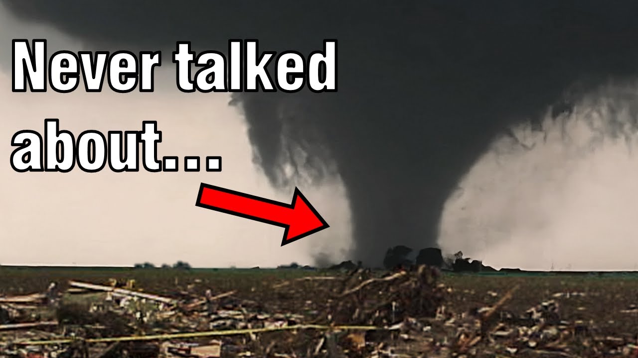
In this video I wanted to talk about tornadoes that don't get nearly as much recognition, so that way we don't forget these incredible but forgotten tornadoes.
#tornado #history #weather
[ Ссылка ]
[ Ссылка ]
[ Ссылка ]
[ Ссылка ]
[ Ссылка ]
[ Ссылка ]
[ Ссылка ]
[ Ссылка ]
[ Ссылка ]
[ Ссылка ]
[ Ссылка ]
[ Ссылка ]
0:00 - Intro
0:11 - 1955
0:43 - 2000
1:21 - 2004
2:03 - 2011 A
2:50 - 2011 B
3:57 - 2003
4:42 - 2012
5:30 - 2014
6:06 - 2021
7:38 - 2023
On June 27, 1955 a tornado would form on the nebraska-wyoming border. The tornado would continue southeast straight towards the Weather Bureau Office east of Scottsbluff Nebraska. During its’ 40 mile path there would be multiple photos, video, as well as radar taken of this tornado.
In 1974, Xenia Ohio was hit by one of the strongest tornadoes in modern history. But most don't know, 26 years later, in the year 2000 it was hit by yet another violent tornado that went down almost exactly the same path. According to the local Shawnee Indians, the area of Xenia Ohio was called “The Land of the Devil Wind”. Which I can almost promise you was referring to tornadoes.
It’s unfortunate that this next tornado was forgotten. On July 13, 2004 a powerful tornado would form outside of the town of Roanoke Illinois. This tornado would slowly move east, heading directly towards the Parsons Manufacturing Plant. All 150 employees took shelter in one of three reinforced concrete rooms put here for exactly this situation. Despite it taking a direct hit, there were zero fatalities.
There's one EF5 that’s almost never talked about. And that is the 2011 Rainsville EF5. This tornado is forgotten for a few reasons- Tuscaloosa, Phil Campbell, Cullman, Smithville were all much more notable tornadoes. The video captured by Sharlene Stephens is in my opinion the best view of this tornado. You can see how the Rainsville tornado was a strong multi-vortex tornado. It even appears to produce the “Dead Man Walking”. Which is only seen in the strongest tornadoes.
Less than a month later, on May 24 a El Reno-Piedmont EF5, the most remembered tornado from this day. I think it’s quite possible a few other tornadoes were capable of achieving the EF5 rating. Especially the Canton Lake EF3. This is the strongest, most menacing looking tornado I have ever seen on video. Also, both the Goldsby and Chickasha Tornadoes were given a rating of EF4 with highest winds of 200 miles per hour. Just one mile per hour short of the EF5 rating. Had any of these tornadoes been rated EF5 I can almost promise you they would have been much more remembered. It’s also worth noting this outbreak occurred two days after Joplin, which overshadowed even the El Reno-Piedmont EF5.
So May 4, 2003, and April 14, 2012. stands out- the F4 that went through Kansas City. At one point, a horizontal vortex rode the front side [of the tornado], showing that this tornado was extremely strong. Now let’s go back to the April 14th tornado outbreak. Only one [tornado] would achieve EF4 status- the Salina EF4. This tornado was an absolute BEAST. The most epic video was taken by Team Twistex when the tornado crossed the road right in front of them. You could also see a large horizontal vortex manifest in front of the tornado, just like the horizontal vortex seen in the 2003 Kansas City tornado
I covered the Pilger Nebraska Event, where four different EF4 tornadoes were spawned by the same supercell. But most don't know about the other tornado. In Burwell Nebraska a classic looking tornado would form. Up close this was an incredible tornado, but the true beauty is seen from the further vantage point. The tornado was below unbelievable surpell structure. Had this tornado occurred on any other day, I almost guarantee it would be considered one of the best tornadoes of 2014
On the night of December 10th 2021 history would take place. The Mayfield EF4. The second EF3 would directly impact an Amazon warehouse, taking the lives of six workers. Bowling Green Kentucky, killing 17, making this the second most deadly tornado of the outbreak.
On the night of March 24, a single storm would end up dominating the atmosphere, producing the Rolling Fork EF4 tornado. The storm continued on, well past Rolling Fork, producing two other EF3 tornadoes- the Winona tornado, and the Amory tornado. Radar scanning the storm showed that the Amory tornado had winds higher than the Rolling Fork EF4. Also, the Amory tornado’s path was less than a mile from the path of the Smithville EF5. And what’s crazy, the Amory tornado was actually wider than the Smithville EF5.


