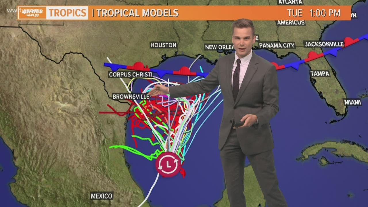
We'll be watching the tropical disturbance in the Bay of Campeche. Thursday morning it was looking impressive on satellite and will likely become a depression or Tropical Storm Wilfred.
It could start to head toward the northern Gulf Coast by this weekend, but the cool front looks like it will keep it from getting all the way here. Models then turn it west as it encounters the front and area of high pressure. However, the front coupled with the moisture from the Gulf could help showers develop across the area this weekend. If this system gets close enough we could see heavy rainfall, but if it turns well to our south we wouldn't see much of an impact. It's all about timing with the front and system, so we need to follow it closely.


