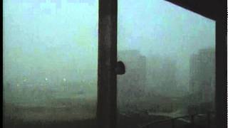
Approximately 30 minutes after this video was taken, it would produce a devastating EF-5 tornado in Crest Hill, Plainfield, and Joliet, IL. The most striking features for storm chasers and meteorologists occur right at and near the beginning, as the thunderstorm approaches. This video was shot around 2:45 PM CT.
In the opening shot, you are looking north-northwest towards Rockford, IL...after a few seconds, it jumps to looking almost straight west towards Malta, IL, seen in the distance briefly before rain blocks the view. The final shot is looking east over the football playing area, and hail can be heard in the final few seconds of the video, which would quickly grow to golfball size. Yes, he now knows it wasn't a brilliant idea to go up there and do this...but this nevertheless documents a missing piece of the puzzle to a historic weather day in northern and northeastern Illinois.
This video contains adult language and intense storm video, therefore parental guidance is suggested. Courtesy of videographer Jay Orbik, who is now the Director of Media Services at Northern Illinois University. Uploaded by permission of the author; in the public domain.
WARNING: Contains adult language and intense storm video. Parental guidance is therefore suggested.


