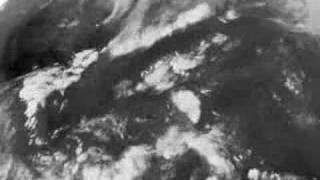
This is a composite of the Contenental US (CONUS) view of the 10.7 um longwave infrared and the 6.5 um water vapor channels from the GOES-12 satellite taken every 30 minutes from August 16 - 25, 2007, showing the path of Hurricane Dean thru the Caribbean Sea and dissipating over central Mexico. This view also shows the training lines of storms that brought torrential rains, causing record flooding over the northern midwest states. Jumps in the sequence are due to satellite down times (1.5 - 2 hrs each day).


![Williams v Williams [1957]](https://i.ytimg.com/vi/c5_g0K4K118/mqdefault.jpg)


