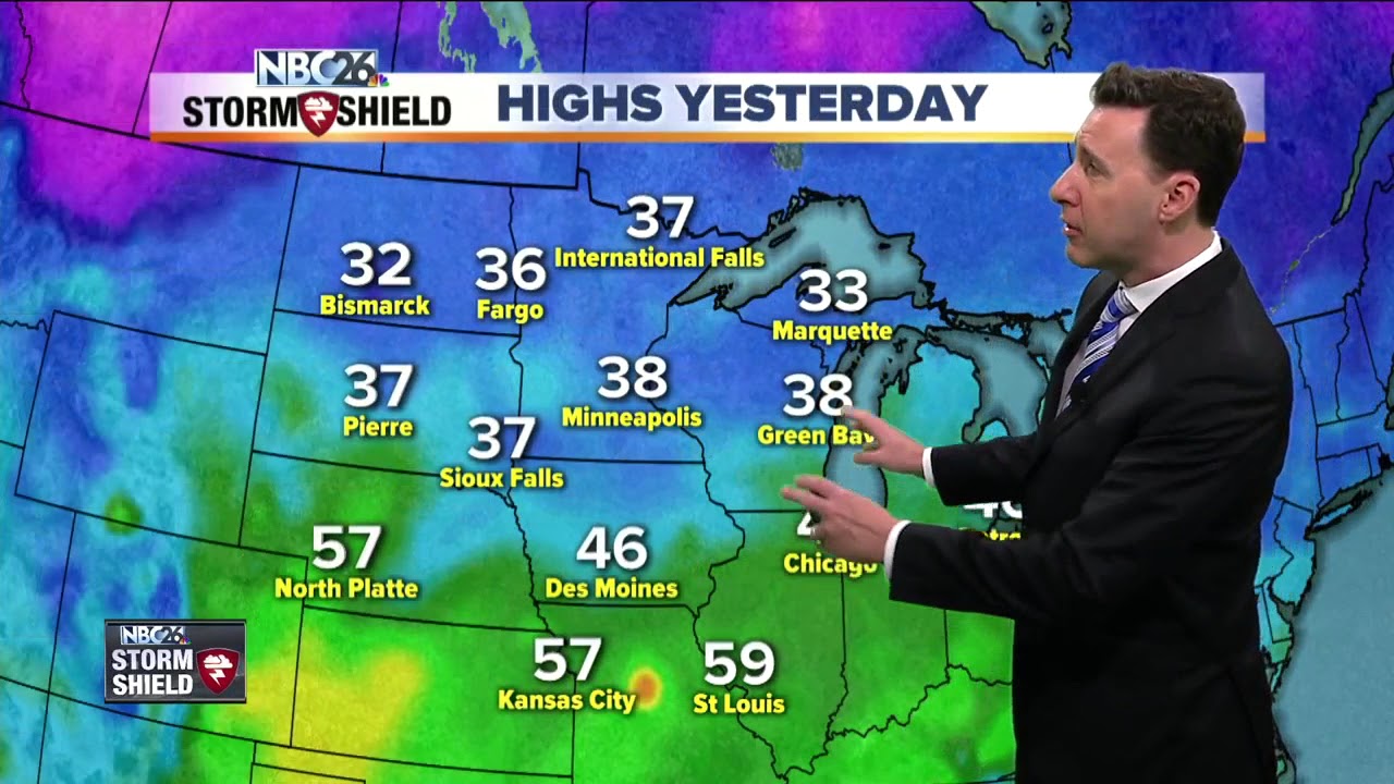
Today will be the most active day of the week with areas of rain. This may start to change over to a wintry mix this afternoon from the NW. We'll have very mild temperatures in the 40s to start the day, but they'll fall a bit as we head through the afternoon. Right now, any snow accumulation should be minor, but the farther you live to the NW, you could see just a little more, but still minor. Untreated roads could become slippery/icy. Tonight, as this low pressure system departs, it'll be blustery and turning colder. If there's a leftover rain or snow shower, that'll end. Overnight lows will plummet to around the 10 degree mark. It'll be cold and blustery on Friday with plenty of sunshine. Get ready for that punch of winter to be back with highs only in the upper-teens. The weekend will also be cold with highs only in the mid-teens. It's starting to look like a relatively minor snowfall will be heading our way late Sunday night into Monday. It's too early to make an exact call on the snow totals, but it shouldn't be that much. You probably will have to shovel after this.


